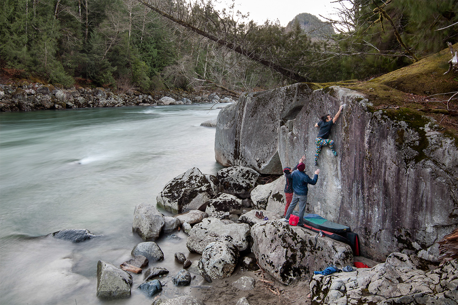
Have you ever driven to the Index River Boulders only to find out that they were not climbable because the Skykomish River water level was too high? I have and it sucked, which is why I started tracking the streamflow gauges of the Skykomish River in order to determine what water level makes the boulders unclimbable.
The U.S. Geological Survey Agency (USGS) has a series of streamflow gauges along the Skykomish River that track the river’s flow volume. Though the main purpose of collecting this data is for use in the scientific community, it also benefits people like us for outdoor recreation.
I have found that the Index River Boulders are generally available for climbing when the “DAILY DISCHARGE, CUBIC FEET PER SECOND” “INSTANTANIOUS VALUE” is LESS than 7,000 cubic feet per second.
To view flow information go to the USGS website and in the search box insert “12134500,” which is the number for a gauge downstream of the boulders. Click on one of the links and compare it to the image I posted below. You can also click on this link and it will take you there. http://waterdata.usgs.gov/usa/nwis/uv?12134500 I have added this resource to the “Links” section of my site, which will be easy for you to access in the future.
From the screen print below you will notice that today’s flow was 3880 cfs.
I also want to give special thanks to Aaron Matheson for sharing the awesome climbing photos he captured while climbing at the River Boulders.
-Pablo